Walks on the Presqu’île de Giens (Var)
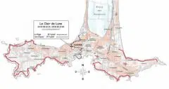
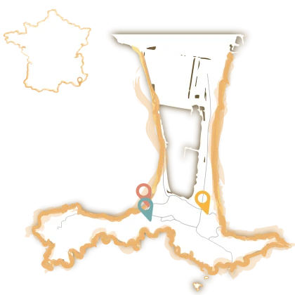
To soak up the atmosphere of the Hyères islands, take a hike and explore every nook and cranny of the Presqu’île de Giens. Follow the signposted paths through the port of La Madrague. Follow the guide so you don’t get lost along the way.

The hiking trail on the Presqu’île de Giens
The route takes you to La Madrague in the commune of Hyères in the Var region, on the Golfe de Giens. Continue to the parking lot at 335 Avenue René Knyff, opposite Mas de Redouna. After parking, turn left up Avenue René de Knyff.
At the junction with Allée Asphodèle, turn right and follow the path to the left of the gate a little further on. The path leads you to the sentier du littoral, the starting point of your hike on the Presqu’île de Giens.
Markings for safe hiking
The starting point is the Calanque du Four à Chaux, then turn left onto the sentier du Littoral. Just follow the signs for “Plage des Darboussières”, and you’ll be on the coastal path, right next to the sea.
Once you’ve reached the crossroads, you’re free to choose the itinerary that suits you best: straight ahead for a sporty hike over the Pointe de Rabat, or to the left to avoid this rather arduous passage. In fact, the two routes merge at a later date. Either way, if you choose the latter, you’ll miss out on the magnificent scenery of the Pointe de Rabat.
Joining the “shortcut” route, the path leads to the Escampo-Barriou beach. A path climbs up to the left, but you should continue straight ahead to survey the rocks. Pay close attention to the faint markings. Nevertheless, the yellow lines become more pronounced as you move along, reassuring you that you’re on the right track.
At the Darboussières beach, continue straight ahead towards the Pic de Niel. A sign indicates that you should turn right, where the path descends to the Montée du Haut du Niel, which lies around the houses.
The route is straight ahead, just follow the path through two houses, one of which is called Pénélope. Continue downhill, following the signs to the small port of Niel.
Once you’re on the Port de Niel road, you need to turn right to go back and forth towards the port. As you retrace your steps, you’ll see a yellow cross on the sign, indicating that you’re no longer on the sentier du Littoral.
How to do it without markers?
Don’t take the road to the left, i.e. avoid the Hauts du Niel climb, and keep going until you find a path to the left, where house no. 504 will be your landmark.
Keep left, as the path leads to a new road. Opposite the “Lotissement du Puits Neuf” sign, take the left-hand descent to Chemin des Barques, which leads down to La Route de la Madrague.
Turn left on this road, which leads straight to La Madrague, past the port and back to the parking lot at 335 Avenue René de Knyff.
Practical info
Other variants are also possible:
- With your back to the parking lot, take the path opposite into the l’Ermitage-Giens housing estate. Turn right after 50 meters onto the small beach path. Continue left, skirting the beach closely, and round the Pointe de l’Ermitage to reach the Calanque du Four à Chaux.
- It is also possible to turn left along the shortened path, avoiding the Pointe du Rabat, which joins the path further on.
- Just off the Darboussières beach, turn right and leave the yellow signs on the right. Cross a small forest before reaching the first houses. Take the wider path at the cistern and continue past the barrier down the Chemin de la Table Ronde, which leads to the Route de la Madrague. Finally, turn left to reach the starting parking lot.
Whichever route you choose, you should always take care when hiking. On average, you’ll need 3.5 hours to cover the coastal path from the parking lot to the return. The distance is around 10 km, with some changes in altitude at certain points. For a successful hike, we recommend that you take along your IGN 1:25000 paper maps, either in paper or mobile versions.

